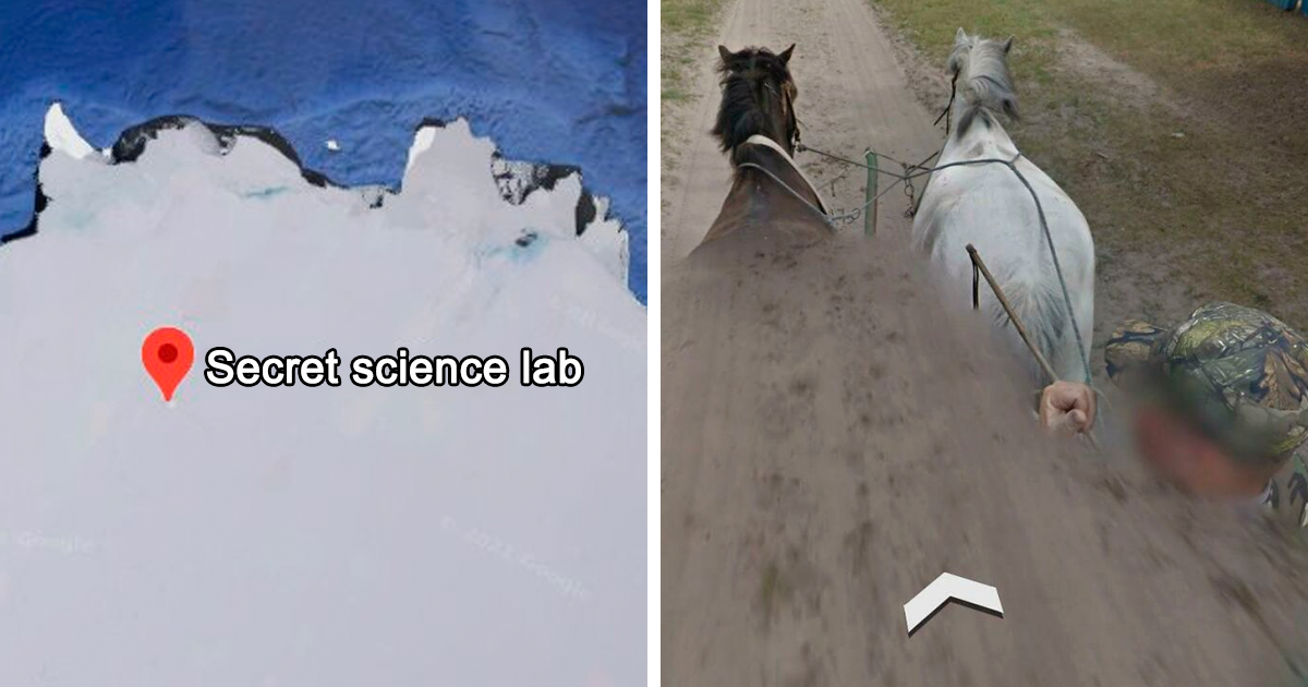
30 Times People Found Such Strange Things On Google Maps, They Just Had To Share Them

Google Maps is supposed to help us find grocery stores, avoid traffic, and prove to our friends that yes, the restaurant really is “only five minutes away.” But somewhere between satellite view, Street View, and curious users with too much coffee, it has also become the world’s biggest digital treasure hunt.
Every day, people zoom into random deserts, forgotten islands, small-town roads, abandoned buildings, and suspiciously quiet lakesand sometimes they find things so strange they have no choice but to share them. A giant spiral in the sand? A ship that turned into a floating forest? A group of people wearing pigeon masks on a sidewalk? Google Maps has seen it all, and unlike your group chat, it rarely judges.
This article explores 30 strange things people have found on Google Maps and Google Street View, including natural formations, human-made oddities, eerie places, funny moments, and a few discoveries that were surprisingly serious. Some are beautiful. Some are creepy. Some are pure internet chaos wearing a pigeon head.
Why Google Maps Is So Good at Finding Weird Stuff
Google Maps combines satellite imagery, aerial photography, Street View cars, user uploads, and mapping data from around the world. That means it captures places from above and at street level, sometimes freezing ordinary life at exactly the wrongor perfectmoment.
Street View imagery is collected in creative ways: cars, trekkers, boats, snowmobiles, underwater cameras, and even camel-mounted equipment have helped document places normal vehicles cannot reach. Google also uses automatic blurring technology for faces and license plates, which is great for privacy but occasionally makes the world look like it was edited by a nervous robot.
The result is a strange mix of geography, comedy, mystery, art, and accidental detective work. Here are 30 times Google Maps users found something too bizarre not to share.
30 Strange Things Found on Google Maps
1. The Pigeon People of Tokyo
One of the most famous Google Street View oddities shows a group of people in Tokyo wearing giant pigeon masks. They appear to be staring directly at the Street View camera, as if a secret bird council has just been interrupted. The scene was reportedly staged by writers from a Japanese humor site, proving that if you know the Street View car is coming, you can absolutely become internet folklore.
2. The Silent People in Finland
In Suomussalmi, Finland, Google Maps users can spot a field filled with hundreds of scarecrow-like figures known as “The Silent People.” Created by artist Reijo Kela, the installation looks like an army of quiet, judgmental laundry models waiting for a bus that will never arrive.
3. A Shipwreck Turned Floating Forest
In Homebush Bay near Sydney, the SS Ayrfield rests in the water with trees growing from its rusted hull. From above, it looks like nature decided to repossess a ship and convert it into waterfront property. The old freighter has become one of the most beautiful strange sights visible on maps.
4. The Desert Breath Spiral in Egypt
Near El Gouna, Egypt, satellite view reveals a huge double spiral carved into the desert. Known as Desert Breath, the land-art project was created in the 1990s and covers a massive area. From above, it looks like either modern art, an alien parking guide, or the world’s most dramatic cinnamon roll.
5. Sandy Island, the Island That Wasn’t There
Sandy Island once appeared on maps in the Coral Sea near New Caledonia. But when researchers sailed to its supposed location in 2012, they found open water. No beach. No palm trees. No confused volleyball named Wilson. The “phantom island” became one of the most famous examples of how old mapping errors can survive into the digital age.
6. The Badlands Guardian in Alberta
Viewed from above, a natural landform in Alberta, Canada, resembles a human head wearing a headdress. Roads and oil-well features nearby even look like earbuds. The formation is natural erosion, but the resemblance is so strong that Google Earth users made it famous.
7. The Giant Pentagram in Kazakhstan
A large five-pointed star in Kazakhstan has sparked plenty of online speculation. Some people saw mystery, symbolism, or spooky energy. The more practical explanation is less dramatic: it is connected to a park layout and local design, not a secret portal for dramatic movie villains.
8. The Nazca Lines in Peru
The Nazca Lines are ancient geoglyphs carved into the desert, including animal figures, spirals, and long straight lines. Satellite view makes them easier for modern users to explore without boarding a small plane, which is helpful for anyone who likes archaeology but not turbulence.
9. The Atacama Giant in Chile
In Chile’s Atacama Desert, satellite imagery reveals a huge human-like geoglyph known as the Atacama Giant. It is one of the largest prehistoric anthropomorphic figures in the world, and from above it looks like an ancient person waving at future map nerds.
10. Hashima Island, Japan’s Abandoned Concrete Maze
Hashima Island, also called Battleship Island, was once a crowded coal-mining community. Now it is an abandoned cluster of concrete buildings surrounded by sea. Google Street View lets people explore parts of this eerie place virtually, which is ideal because the vibe says “post-apocalyptic video game level.”
11. Buzludzha Monument in Bulgaria
Google Arts & Culture and Street View have helped people explore abandoned places like Bulgaria’s Buzludzha Monument. The saucer-shaped structure sits on a mountain and looks like a UFO that landed, gave up, and became architecture.
12. Kolmanskop, Namibia’s Sand-Filled Ghost Town
Kolmanskop is an abandoned mining town where desert sand has swallowed homes, rooms, and staircases. Street View-style virtual exploration makes it feel like the Sahara got tired of waiting outside and simply moved into the living room.
13. The Liwa Desert Camel View
To capture imagery in the Liwa Desert, Google mounted Street View equipment on a camel. That means some users have virtually crossed desert landscapes from camel height. It may be the only mapping project where the camera operator came with humps and an attitude.
14. Underwater Street View
Google has also captured underwater imagery in places such as coral reefs. For users, this means you can explore marine environments without getting wet, sunburned, or judged by a fish.
15. A Car in a Florida Pond
One of the most serious Google Maps-related discoveries involved a submerged car in a Florida pond. A resident noticed the vehicle on Google Earth, leading authorities to human remains connected to a man missing since 1997. It was a chilling reminder that digital curiosity can sometimes solve real-world mysteries.
16. Funny Street View Timing
Street View has captured people falling, waving, dancing, gardening, arguing with garbage cans, and doing mysterious sidewalk activities. Most are harmless slices of daily life, but frozen in panoramic form, they become accidental comedy sketches.
17. Blurred Animal Faces
Google’s automatic privacy tools are designed to blur human faces and license plates. Occasionally, animals get the celebrity treatment too. A blurred cow, horse, or dog can look strangely suspicious, as if the animal entered witness protection after seeing too much.
18. Giant Roadside Statues
Across the United States and beyond, Google Maps reveals giant chickens, dinosaurs, muffler men, oversized fruit, and fiberglass creatures guarding highways. These roadside attractions are not hidden, exactly, but satellite and Street View make them feel like Easter eggs left by extremely committed pranksters.
19. Crop Circles and Field Art
Some users find patterns in fields that look mysterious at first glance. Many turn out to be agricultural designs, art installations, or temporary crop patterns. Still, when you stumble across a perfect circle in the countryside, it is hard not to hear sci-fi music in your head.
20. Plane Boneyards
Satellite view makes aircraft storage facilities look especially strange. Rows of retired planes sit in desert landscapes like metal skeletons arranged by someone with a very specific spreadsheet. These places are real, practical, and visually fascinating.
21. Abandoned Amusement Parks
Old amusement parks visible on maps have a special kind of weirdness. Roller coasters without crowds, empty walkways, and faded attractions can look more unsettling than a haunted housemainly because they were originally designed to be cheerful.
22. Strange Rooftop Messages
Some buildings display messages, jokes, logos, or emergency markings on rooftops. Most were made intentionally, but discovering them from above feels like reading secret notes written for satellites.
23. Heart-Shaped Islands
Google Maps users love finding islands shaped like hearts. Some are natural, some are landscaped, and some require a little imagination. Either way, they are romantic until someone says, “Actually, that looks more like a potato.”
24. Remote Military Shapes
Satellite imagery sometimes shows unusual geometric layouts near training grounds or restricted areas. Many are ordinary test ranges or infrastructure, but from above they can look like symbols from a conspiracy documentary with dramatic background music.
25. The Island of Dolls in Mexico
Near Mexico City, the Island of Dolls is famous for trees covered with old dolls. Google Maps helps curious users locate the area, and photos make it clear that this is not the place to visit if porcelain eyes make you uncomfortable.
26. Snake Island in Brazil
Ilha da Queimada Grande, often called Snake Island, is known for its dangerous snake population and restricted access. On Google Maps, it looks deceptively peaceful, which is exactly how nature gets you.
27. Pripyat and Chernobyl-Related Areas
Google Maps and user imagery allow people to explore parts of the Chernobyl exclusion zone virtually. Empty streets, abandoned buildings, and historic context make it one of the most haunting map explorations online.
28. Perfectly Placed Street View Glitches
Panoramic stitching can create visual glitches: stretched cars, half-bodies, warped buildings, and duplicate limbs. These are not monsters. They are image-processing artifacts. But try explaining that calmly when a person appears to have three legs and a floating elbow.
29. People Staging Scenes for the Camera
Once people realized Street View cars were passing through neighborhoods, some started staging moments. Costumes, signs, poses, masks, and choreographed weirdness turned ordinary streets into public performances. Google Maps became part navigation tool, part global improv stage.
30. Everyday Life Looking Accidentally Surreal
Sometimes the strangest discoveries are not famous landmarks or mysteries. They are ordinary scenes captured from an unusual angle: a person sunbathing on a roof, a dog sitting like a human, a bicycle in a tree, or a shadow that looks like a movie monster. Google Maps reminds us that the world is already weird. It just needed better zoom.
What These Strange Google Maps Finds Tell Us
The popularity of strange Google Maps discoveries says a lot about human curiosity. We love mysteries, but we also love explanations. A giant star in Kazakhstan is interesting when it seems unexplained, but it becomes even better when we learn the real story. A shipwreck is cool; a shipwreck growing trees is unforgettable. A normal sidewalk is boring; a sidewalk full of pigeon people becomes internet history.
Google Maps oddities also show how technology changes exploration. In the past, discovering strange places required travel, money, equipment, and occasionally a suspiciously durable hat. Today, anyone with an internet connection can scan deserts, coastlines, ghost towns, and city streets from a couch. The explorer’s toolkit now includes satellite view, Street View, historical imagery, and the patience to zoom into nowhere for three hours.
There is also a serious side. The Florida pond case shows that map imagery can reveal things people missed for years. Archaeologists, journalists, researchers, hobbyists, and local communities have all used satellite imagery to notice patterns, document change, and investigate questions. Not every strange shape is a mystery, but sometimes a curious eye can uncover something important.
How to Find Strange Things on Google Maps Yourself
If you want to become a digital explorer, start with places that naturally create unusual views: deserts, abandoned industrial zones, remote islands, dry lake beds, old mining towns, and large public art installations. Switch between map view, satellite view, and Street View when available. Zoom out, then zoom in. Follow coastlines. Look near airports, ports, rail yards, and historic sites.
Use common sense, though. Do not trespass, harass residents, or assume every odd shape is a secret government experiment. Many “mysterious” Google Maps finds are normal infrastructure, shadows, old imagery, or camera glitches. The fun is in investigating, not inventing wild claims because a parking lot looks vaguely like a lizard.
Also remember privacy. Google blurs faces and license plates for a reason, and users can request additional blurring for homes, cars, and bodies. Strange discoveries are entertaining, but real people may be involved. Share responsibly, especially when an image includes private property, accidents, or sensitive locations.
Extra Experiences: The Joy of Getting Lost Without Leaving Home
There is a special kind of fun in opening Google Maps with one simple goalchecking directionsand then waking up mentally 45 minutes later in a remote desert, asking why there is a spiral in the sand. Many people have had this experience. You search for a restaurant, miss-click, zoom out too far, and suddenly you are touring abandoned islands in Japan or inspecting suspiciously dramatic shadows in the Australian outback. It is educational, but in the same way falling into a Wikipedia rabbit hole is educational: technically useful, emotionally unplanned.
The best part of exploring strange Google Maps finds is that it makes the world feel both enormous and oddly close. A shipwreck in Sydney, a ghost town in Namibia, an ancient desert drawing in Peru, and a Tokyo sidewalk full of pigeon masks can all exist in the same browsing session. You do not need luggage. You do not need a passport. You do not even need pants that qualify as “outside clothes.” All you need is curiosity and the willingness to say, “Wait, what is that?”
These virtual discoveries also create shared moments. Someone finds a bizarre Street View scene, posts it online, and suddenly thousands of people are zooming in, laughing, debating, and trying to figure out whether the strange figure is a statue, a person, a shadow, or a glitch caused by panoramic stitching. It turns map browsing into a social activity. Instead of just asking, “Where is this place?” people ask, “How did this happen?” That question is where the magic lives.
There is something charming about the accidental nature of it all. Google Maps was not built primarily as a comedy archive, a mystery museum, or a digital cabinet of curiosities. Yet it became all three. It captures people mid-wave, dogs mid-strut, towns mid-change, and landscapes shaped by centuries of weather, culture, construction, and human weirdness. Some scenes are funny because people planned them. Others are funny because nobody planned them at all.
Exploring Google Maps also teaches patience and skepticism. At first glance, a dark shape in water might look like a monster. A symbol in the desert might look supernatural. A warped person on Street View might look like evidence of a new species with poor posture. But when you investigate, you often find a practical explanation: a shadow, a boat, a land-art project, a camera seam, a map error, or an old local landmark. The truth may be less sensational, but it is usually more interesting.
That is why strange Google Maps discoveries keep going viral. They combine mystery with accessibility. Anyone can look. Anyone can wonder. Anyone can share. And sometimes, buried between traffic directions and coffee shop reviews, the map reminds us that Earth is still wonderfully weirdeven when viewed through a browser tab.
Conclusion
Strange Google Maps finds are more than internet distractions. They are tiny reminders that the planet is full of overlooked stories: ancient art, abandoned places, natural illusions, staged jokes, mapping mistakes, and unforgettable accidents of timing. From pigeon-masked pranksters to phantom islands, from desert spirals to floating forests, these discoveries prove that curiosity still has plenty of room to roam.
So the next time you open Google Maps, do not just check traffic. Zoom around a little. Visit a ghost town. Follow a coastline. Drop into Street View somewhere random. You may not find a mystery worthy of a documentary, but you might find a chicken statue, a blurred cow, or a group of people dressed like birds. Honestly, that is still a successful expedition.
SEO Tags